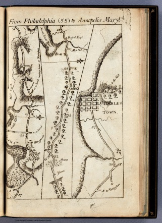
Digital resources available to researchers have grown enormously in recent years, making the work of researchers much easier as sought after data is often just a few clicks away. Maps are one of those areas of growth as they’ve been scanned by special collections institutions, making them virtually available on demand.
I was recently made aware of a valuable new repository for researchers, Old Maps Online. This free resource serves an easy to use portal to historical maps in libraries around the world, allowing users to search for online digital historical maps across numerous different collections via a geographical search engine. It’s contributors include the New York Public Library, the David Rumsey Collection, the British Library and many more.
I’ve been using it for a few months now to access material to help with classroom lectures and public talks. It’s making items that are stored deeply away in distant, special collections institutions easily available.
In addition, you will find a number of other links to map resources on my links research page.
